
Are you a mountain biker looking for an easy way to navigate the most challenging trails? Look no further! With a GPS, you can take adventure off-road with confidence and benefit from its advanced mapping capabilities.
This article will provide a complete guide to the advantages of using a GPS for mountain biking. Get ready to explore the great outdoors and unlock your biking potential!

Mountain biking can be found in almost all corners of the globe. It can provide a thrilling experience for cyclists who seek adventure and excitement off-road. The increased popularity of mountain biking is leading riders to seek out more challenging routes over mountainous terrains and isolated trails.
To ensure a safe and enjoyable journey, it is important for riders to understand the basics of mountain biking and the benefits of using a Global Positioning System (GPS). This guide will provide an overview of GPS for mountain bikers, including how it works, its various features, as well as some tips on how to use it most effectively on your next ride.
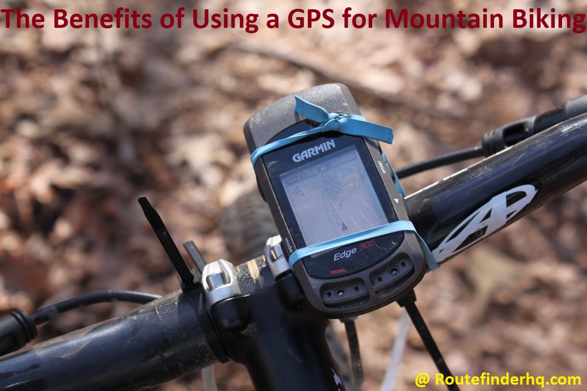
Benefits of Using GPS for Mountain Biking
Using a GPS device for mountain biking offers many benefits that can help make the experience more enjoyable and convenient. By using a GPS, cyclists can map out their journey, record vital statistics such as time, distance and speed at any given point, monitor the terrain ahead of them, gain real-time feedback of their performance and easily locate emergency services if needed. All of these elements can potentially reduce the risk of injury or difficulty that may arise when navigating around unfamiliar or off-road terrain.
GPS devices provide an accurate guide for mountain biking routes with turn-by-turn navigation which can assist in plotting out every twist and turn on a desired route – even if it’s uncharted terrain. Having this knowledge can drastically reduce the chance of getting lost in unfamiliar surroundings or should you need to backtrack due to wrong turns taken or trails closed off unexpectedly.
The data provided by these devices such as time, distance and speed information means cyclists have the tools they need to analyze their overall performance in order to adjust their strategy accordingly. Cyclists will also know their exact location at all times allowing them to accurately record routes and features which could be useful for planning future bicycle trips.
If riding solo is part of your preferred style then having access to emergency assistance (or facilities) while out on the trails is vital – without having to rely on other people being present in case something goes wrong. With most modern GPS units this isn’t an issue as they have built-in emergency service locators which could prove that much needed ray of hope should any major problems arise whilst cycling alone with specialized mountain bikes over rough terrain where help isn’t immediately available or visible from the eye alone.
Navigation and Wayfinding
When mountain biking, having an effective navigation system is essential for navigating terrain that can often be unfamiliar and difficult to keep track of. GPS navigation devices provide bikers with comprehensive maps that are easy to access and understand. By having access to satellite maps in real-time, it allows riders to find the best route for their needs and save valuable time.
Another advantage a GPS has over traditional map-reading techniques is its ability to provide bikers with information they may otherwise miss when navigating by sight alone. This includes pertinent details such as upcoming terrain changes, inclines or dips that could affect the accuracy and effectiveness of navigational decisions.
In addition, a GPS can turn complex orienteering tasks into simplified simulations. It can display vital points such as trailheads or detours along the way in an easy-to-read format that saves time from following questions with large pieces of paper or marked cards. It’s much easier to follow a few simple GPS display prompts than take note if waypoints from multiple maps printed from different sources in various formats.
Ability to track location and route
GPS systems can be invaluable tools due to their ability to track location and route information with pinpoint accuracy. These features have become particularly important for mountain bikers, who often opt for off-road trails and other unknown locations. With a GPS system, cyclers can easily locate the safest, most convenient routes in order to ensure a safe, enjoyable experience.
A GPS device takes away the need for cyclists to constantly search for their location, increasing the chances of a safe on-trail experience. A system’s mapping capabilities can provide riders with an overall view of the terrain and help them plan out a safe route before taking off on an adventure. In addition to providing easy navigation solutions, a GPS can also supply directions in case riders take unfamiliar turns or detours. Furthermore, with its altitude data tracking capabilities it allows users to chart elevation changes along routes – essential information when selecting the best terrain gradation levels suited for different riding styles.
Finally having real-time access to your location allows mountain bikers the ability monitor themselves while out on long rides — creating an increased sense of safety even when cycling alone by letting family members now where individuals are at all times in case of emergency or if assistance is needed.
Access to maps and trails
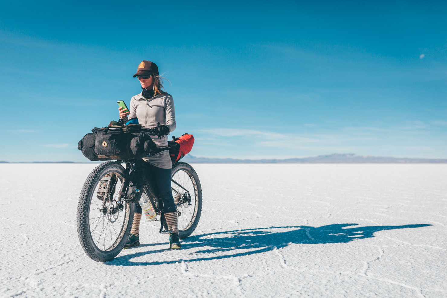
GPS systems provide access to an expansive array of mountain biking trails and maps from both public and private providers. With GPS, you can simply enter the coordinates of a trail, or select a trails based on its difficulty level, scenery or length. This helps you to find the right trail for your exercise needs. Additionally, many GPS systems come with preloaded maps that make it easier to plan your route as well as providing safety features such as tracking your location while riding.
This is especially helpful if you are mountain biking in unfamiliar areas where there is limited access to maps or cell coverage.
GPS also allows you to record more detailed information about your ride including speed, altitude changes and more. Many GPS products also offer exciting premade routes to explore, along with real-time feedback about elevation changes, steepness of terrain and obstacles. In addition, many GPS trackers have the capability to follow a route that has already been mapped out for you so all you have to do is hit the road!
Safety
Biking in the great outdoors provides an enjoyable way to be active and explore nature, but it can also be dangerous. In addition to the normal risks of a rugged and remote terrain, you are also exposed to potential hazards of extreme weather, animals, or being lost in unfamiliar areas. By using a GPS device while on the trail, you can greatly reduce your risk of getting into trouble.
A GPS device allows riders to both plan their ride route more accurately and check their exact location at any time. Potential riders can gain valuable insight into a course’s terrain before attempting it and use mapping software for virtual rides and data tracking. Advanced tracking will record crucial details like speed and elevation changes so riders have comprehensive records of their activity for compare analysis and performance review.
GPS tracking devices can be used as a safety tool by allowing riders to share details about their trek with family or friends who are waiting at home. Riders can store locations of scenic spots they’d like to revisit, water sources in the area or dangerous spots they should avoid on future rides. Most importantly, if something were to happen while out in nature that would leave a rider stranded or incapacitated, having an easily accessible channel of communication is invaluable in providing help before things become dire situations.
Emergency location services
When it comes to mountain biking, an emergency location service can be a lifesaver. A GPS unit will allow riders to quickly get help in the event of an accident or if they become lost. An emergency locator beacon allows you to alert search and rescue services of your exact location so that they can respond quickly.
Not only is this important for helping riders in distress, but it can also help keep track of group members who may have wandered from the group. Having a GPS unit with them can also provide peace of mind for family members back home who may be worried about you.
Monitoring speed, elevation and terrain
Mountain biking is a great way to explore off-road trails, get some exercise and take in natural scenery. Keeping track of your data can help you measure your performance and stay safe during a ride. GPS technology can be used to monitor speed, elevation and terrain to enhance your experience.
Speed monitoring helps you track the ride so you know exactly how long it took you, giving you a benchmark for future rides or helping you plan the time required for an upcoming ride. You can also set targets for yourself and adjust your pace accordingly.
Elevation monitoring gives you a full picture of an area — this type of tracking allows hikers to see which parts of their trail are the toughest and prepare accordingly. This is important when researching trails before starting out as well; area maps will give an indication but won’t provide exact altitude changes along a route like GPS data will. Tracking elevation over distance also helps mountain bikers train more efficiently by allowing them to understand where they need extra work — whether that’s pushing through the uphill parts or getting more comfortable with fast downhill sections — so they can maximize both performance and safety on their rides.
Finally, tracking terrain type provides important information about what kind of environment you may be riding through; this includes key features like wooded areas, rock gardens, switchbacks or sandy areas as well as surface types like asphalt or packed dirt that could affect traction levels, especially when wet. Knowing ahead of time which types of terrain are generally easier or more difficult for beginners allows new riders to adjust their route if needed in order to stay safe and have fun on the trail!
Ability to track other riders in your group
For some mountain bikers, the ability to track other riders in their group is essential for safety and keeping track of time. A GPS system can be used to monitor your location and the location of your riding partners. This allows you to estimate distances between locations, identify which group member has strayed from the planned route, and get an estimate of how far each member is behind or ahead in their progress.
GPS systems also come with “geo-tagging” capability; this allows you to take photos during a ride and store them automatically on a map as waypoints so that you can easily find that exact spot again. This means more accurate navigation as you can coordinate your trip with where photographs were taken so you don’t miss any points of interest.
Additionally, if someone gets lost, the locational tracking software can help identify where they are—which can save time and effort when trying to reunite lost hikers or cyclists in the backcountry.
Training and Performance
Carrying a GPS device while mountain biking can help you improve your performance and track your progress over time. With GPS data, you can identify which parts of the trail are the most challenging and then plan your training accordingly. This can allow you to focus specifically on the weaker aspects of your riding and improve upon them more quickly. In addition, tracking your rides will enable you to measure how far and fast you’ve gone. When trying to reach any kind of athletic goal, having data showing improvements or plateaus throughout a particular training period can be especially helpful.
For competitive athletes, real-time GPS tracking is invaluable. On any given race day, course conditions may vary greatly from previous visits, so ensuring that athletes know the terrain ahead of them is especially important. Depending on the type of race (enduro vs gravity) knowing when to conserve energy in order to push it out on crucial sections could mean the difference between winning and not quite making it to the podium. Knowing when it’s wise to push with each type of corner or feature is key for downhill speed chasers as well as for endurance racers taking on grueling courses such as 24h events where pacing oneself over very long periods is essential .
Tracking distance and speed
One of the biggest advantages of using a GPS unit while mountain biking is the ability to track your distance and speed. With a GPS, you can map out new routes or find the best way back to your starting point. You can easily see how far you have traveled or how fast you are going with this data available in real-time, which can provide motivation and guidance during rides.
Additionally, since most GPS devices show your location on an on-screen ‘map’, it also makes it easier to avoid getting lost while exploring new trails.
Analyzing ride data and progress
Using a GPS device to track progress for mountain biking can provide invaluable data about your rides. This data can help you analyze areas where you have improved and those that still need practice. Additionally, having access to previous performance and ride details allows riders to challenge themselves to go faster and farther distances. Not only does this provide data, but it also helps with motivation as it allows riders to appreciate the progress they are making by either developing new routes or conquering challenging ones.
Another benefit of riding with a GPS device is that it provides a detailed map of the area with precise information about terrain grade and elevation, allowing riders to make safer decisions about their route selection on any given day. By understanding the area better and knowing exactly how hilly or steep certain sections of the ride will be, novice riders can avoid challenging terrain before they are ready, while more advanced riders can select trails that offer bigger challenges and an adrenaline rush they’re seeking. Knowing exact elevation gains along a route helps less experienced riders stay within their physical capabilities while increasing their confidence in other slopes along the way.
By using GPS devices for mountain biking activities, particular metrics such as speed, distance ridden, altitude gained/lost and heart rate can all be accurately tracked. With this in mind, having access to such accurate data helps optimize future rides as specific adjustments can be made based on past performance in order to help reach new goals even quicker.
Conclusion
In conclusion, a GPS unit can be an invaluable tool for mountain bikers. It is capable of providing essential navigation and mapping functions that enable users to accurately plot a trail before setting off and keep track of their progress during the ride. Additionally, many GPS devices are capable of providing advanced features such as calorie tracking or thumbnails of trails which can help improve the overall mountain biking experience.
Before embarking on any adventure with a GPS device, however, it’s important for riders to become familiar with all the features their unit provides so that they will be able to get the most out of their experience. It is also useful to research different models and read reviews from trusted sources so they can make an informed decision based on their own personal preferences and needs. By ensuring they understand the capabilities of their device and using it correctly while moving through challenging terrain, users can typically look forward to an enhanced experience each time they hit the trail with a GPS in tow.
FAQ’s
What are the advantages of using GPS?
Provides accurate location and navigation information.
Helps in tracking the movement and progress of an individual or vehicle.
Enables easy and efficient route planning and optimization.
Helps in finding nearby points of interest such as restaurants, gas stations, etc.
Can be used for geotagging photos and other data.
Do I need GPS for MTB?
It depends on your preferences and needs. GPS can be helpful in tracking your location, distance traveled, and speed, and can also assist with navigation. However, it is not essential for mountain biking and some riders may prefer to rely on traditional maps and compasses.
What is the best GPS for mountain biking?
There are many options available, and the best GPS for mountain biking depends on individual needs and preferences. Some popular options include the Garmin Edge series, Wahoo ELEMNT series, and the Lezyne Mega XL GPS.
What is the use of GPS tracker in a bike?
A GPS tracker in a bike can help in tracking the location and movement of the bike. This can be useful in preventing theft, recovering a stolen bike, or keeping track of the location of a rental bike.
Which is the best GPS for bike?
Again, this depends on individual needs and preferences. Some popular options for bike GPS include the Garmin Edge series, Wahoo ELEMNT series, and the Bryton Rider series.
How accurate is GPS for cycling?
GPS can be quite accurate for cycling, but factors such as signal strength, terrain, and weather can affect its accuracy. Generally, GPS accuracy can vary from a few meters to several dozen meters.
Can I install GPS on my cycle?
Yes, there are several options available for installing GPS on a cycle, including GPS-enabled bike computers, phone mounts, and standalone GPS devices.
Is Google Maps good for cycling?
Google Maps can be a helpful tool for cycling, but it is not specifically designed for cyclists. It may not always provide the best or most efficient cycling routes, and it may not include information on bike-specific features such as bike lanes or trails.
Is GPS accurate on distance?
GPS can be accurate on distance, but factors such as signal strength, terrain, and weather can affect its accuracy. Generally, GPS distance accuracy can vary from a few meters to several dozen meters.
What is GPS full form?
GPS stands for Global Positioning System.
See Also-
- Best golf gps 2023
- Best cat gps tracker 2023
- Best fish finder gps combo 2023
- Best trucker gps 2023
- Best gps for kayak 2023