
Are you planning a thrilling overlanding adventure? Then you must be prepared and know how to get around. Utilizing a GPS can make navigating and enjoying your trip a seamless experience.
With this complete guide, you’ll get essential information on the benefits of using GPS while overlanding!

When it comes to navigating overlanding trips – or any other off-road adventures – a Global Positioning System (GPS) can be an invaluable tool. Whether you’re a first-time user or experienced traveler, understanding the full capabilities of this piece of modern technology can make your next excursion that much more enjoyable and safe.
In this guide, we’ll discuss why using a GPS is so important for off-roading and 4×4 trips, review some of its features, explain how to use it properly and make some recommendations for selecting the best unit for your needs. We’ll even provide tips for staying safe with an effective navigation system on the trails. So let’s get started!
Understanding GPS Navigation
GPS navigation is a technology that utilizes satellites in order to track location and guide the user. GPS stands for Global Positioning System and was developed by the US military in 1973 for navigation purposes. GPS navigation systems are simple to use, offer real-time directions, and can be used just about anywhere with a connection to satellites. Many smartphones now come with an integrated GPS receiver, making it easy to access this technology on-the-go.
When it comes to overlanding expeditions, GPS navigation provides a necessary safety tool that allows adventurers to explore remote locations with confidence. It offers an efficient method of guiding travelers around difficult terrain such as mountains, valleys, and dense forests that aren’t easily visible from the ground. Using a quality device can also help keep individuals away from areas at risk of problems related to weather, flooding, or wildlife (including potentially dangerous creatures).
GPS devices provide routes specifically tailored around the terrain a traveler may be navigating through as well as comprehensive elevation data which gives users an understanding of where they are relative to their surroundings. This allows drivers better prepare and plan for potential hazards such as rocky or sandy surfaces caused by shifting climates such as those caused by snow melt or summer rains. Knowing one’s location is key in order making informed decisions while navigating through these potentially treacherous terrains – especially when explorations take place without cellular coverage. Being able to pinpoint exact locations at any given time can quickly prove invaluable in many emergency situations where regular map makings can fall short in terms of accuracy or detail when planning oftentimes challenging excursions away from conventional roads and highways into wilder more treacherous unchartered regions.
Explanation of GPS
GPS, or Global Positioning System, is a network of satellites orbiting our planet and constantly broadcasting their signal with information regarding their exact location, speed and movement. This signal is received by GPS receivers, which can then use the data to accurately pinpoint the device’s exact location. This technology has made navigation much easier when planning outdoor adventures.
GPS is most often used in cars and other vehicles because it enables users to quickly find their way in unfamiliar areas and take the most direct routes possible. Additionally, GPS allows drivers to plot out their destination before they begin their journey and receive live updates every time a new road block or detour appears on the route. This makes it much easier for travelers to reach their destination in a timely manner and avoid traffic delays.
GPS also has important safety applications for overlanding trips as well because it keeps track of your position at all times, even when you are off-road or unable to access cellular data signals. This makes it possible for travelers to keep track of where they have traveled during their trip so that they can be sure not to get lost in unfamiliar areas. In addition, GPS can assist with emergency services if necessary since it is always tracking your location no matter where you are at the time of distress.
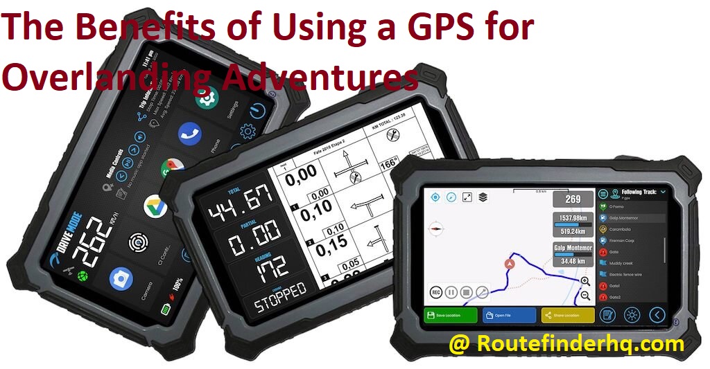
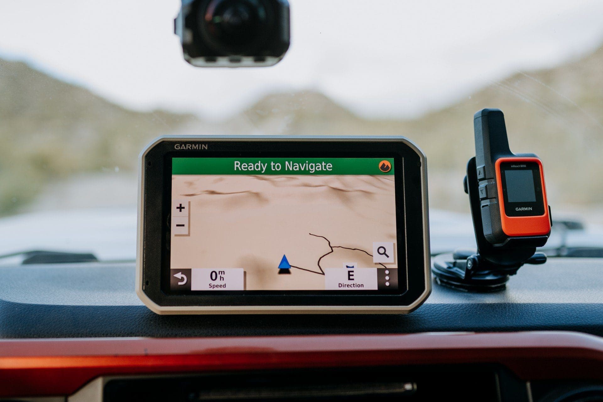
Types of GPS Devices
When it comes to selecting the right GPS device for your overlanding vehicle, you have several choices. Generally, there are three main types:
- Handheld GPS: A handheld GPS is a good choice for adventure seekers who want the basic navigation features that come with a typical navigational system. Most handheld devices provide real-time tracking of location, speed, and altitude as well as route planning and mapping capabilities. Handheld devices are also generally lightweight and portable, so they are easy to pack when venturing out into the wilderness.
- In-Dash GPS: An in-dash GPS is typically installed by professionals in your vehicle so it is available whenever you need it. If you plan on using your vehicle’s own navigation system, this can be a great option since it will be integrated with other systems such as audio and entertainment options within your car or truck. They often feature advanced capabilities such as detailed maps of off-road paths, elevation data for traversing mountains or hills efficiently, preloaded databases of popular points of interest (POIs), and other special functions like geofencing or obstacles warnings to enhance safety when driving off-road.
- Smartphone App: Much like an in-dash GPS device, there are also many smartphone apps that offer similar features and functionality for those who don’t wish to invest in an actual navigational system. These apps work with many different smartphones and tablets running Android or iOS operating systems and usually boast much higher accuracy than their handheld counterparts due to the additional sensors present on modern phones (such as gyroscopes). Many features found inside in-dash units can be found on these apps too — detailed maps, voice prompts detailing each turn ahead, 3D terrain displays — but without the higher price tag associated with physical hardware devices!
Understanding GPS Navigation Features
Understanding the navigation features of your GPS device can greatly enhance your ability to plan, track, and navigate your overlanding adventures. To get the most out of your GPS navigation features, you should become familiar with the following menu items:
* Maps: Most GPS devices will come with a basic set of maps. These maps typically include street and highway systems as well as points of interest. Many also offer specialized maps such as topographical and aerial images. Understanding how to read these different map types can help you better navigate terrain that may not be clearly visible on a traditional road map. So familiarize yourself with how to use each type of map available on your device.
* Waypoints: A waypoint represents a specific location stored in your GPS memory and can be used as reference points for navigation purposes such as planning a route or tracking distance traveled. Most GPS devices offer several different types of waypoints that can be used for a variety of reasons from marking favorite fishing spots or campsites to important crossroad intersections or accessing roads not visible on traditional maps. Be sure to understand how waypoints work on your specific device so you can make the most out of them when planning routes and navigating new areas.
* Navigation Tools: Depending on the type of GPS device you have, there may be various tools available for navigating unfamiliar terrain or calculating distances between two locations such as measuring turn-by-turn routes or finding an area’s elevation profile – usually used for mountain biking trips or once constructed Know Your OHV trail networks..familiarizing yourself with these tools will go a long way towards helping you better understand terrain conditions before setting out on an adventure, allowing you to plan accordingly and avoid any potential hazards along the way.
III. Benefits of GPS Navigation for Overlanding
GPS navigation is a powerful asset when it comes to taking an overlanding adventure. GPS navigation can be used to supplement other forms of navigation, making it easier to get around, allowing you to access different terrains with more confidence and also providing you with data that can help inform your decision-making. Below are some of the key benefits of using a GPS for overlanding:
- Access to Remote Locations: With GPS technology, adventurers can explore more remote locations that they may have been too intimidated or unable to access on their own. Whether it’s locating the trailhead for a hidden fishing spot or making your way down an off-road trail, having the added guidance of a GPS can make the entire experience less stressful and much more enjoyable.
- Navigation Assistance : A good GPS unit will not only provide guidance from point A to point B but also provide additional information like elevation changes and waypoints along the route for further exploration. This helps ensure that you don’t get lost in unfamiliar territory and makes planning trips much easier by providing real-time information about what’s ahead of you.
- Data Extraction : With data extraction, your GPS will save trip logs that go beyond just where you traveled and provide insights into things like average speed, elevation levels, et cetera – all of which are useful when planning future overlanding trips or just creating custom maps exploring family vacation areas.
- Safety Benefits : A reliable GPS system is one of the best tools available for keeping safe while out in remote areas as well as helping friends & family track your progress if needed – giving them peace of mind while on your next big adventure!
Provides Accurate and Real-Time Location Data
A Global Positioning System (GPS) is a navigational tool used by travelers to locate themselves and plot their route accurately on a map. GPS devices use satellites to provide real-time location data, which can be used to show the exact position of a user while they are moving at any speed. Being able to access accurate and up-to-date information is invaluable for overlanding adventures; navigating rough terrain can often throw drivers off course, and having a dependable source of positional data will greatly alleviate the confusion.

Using a GPS on an overlanding excursion has many distinct advantages: it eliminates the need for paper maps, provides more reliable driving directions, enables efficient trip planning, and makes emergency assistance easier to access. Real-time location data will allow for more accurate navigation than simply relying on visual landmark recognition – helpful when exploring areas with limited signage or off the beaten track driving routes. Online tools like Google Maps or Waze can facilitate interactive journey planning and even offer alternate routes if necessary. Travellers can plan and map out complicated multi-state treks ahead of time before ever leaving home with no fear of getting lost along the way.
In worst case scenarios where emergency services are needed, using GPS coordinates provided by a dependable device has been shown to decrease response times significantly since locating an isolated area without an address can take significantly longer than pinpointing exact coordinates online quickly. With all these advantages in tow, equipping your next overland adventure with up-to date navigational technology doesn’t seem like such a bad idea after all!
Helps to Find the Best Routes and Avoid Obstacles
When overlanding, a GPS goes beyond helping you find your way. With a built-in topographic mapping feature found in most modern trail-ready GPS devices, you can view the landscape ahead of time and plan your route to avoid obstacles. It’s also possible to find routes that are off-the-beaten path, providing new and exciting experiences without the fear of getting lost or taking a wrong turn. Many advanced GPS units include user reviews, feedback and ratings which can be invaluable when planning the perfect adventure.
Using a GPS in combination with navigation software can also prove invaluable for trip-planning purposes, allowing for optimization of routes to maximize efficiency and minimize fuel expenditure. Additionally, preloaded maps can help you to actively navigate hazardous terrain like cross-country driving or rocky landscapes with relative ease. Advanced models are even capable of predicting weather patterns so that overlanders can seek shelter at an appropriate time should inclement weather strike unexpectedly during their adventure.
Helps to Navigate in Low Visibility and Poor Weather Conditions
Many overlanding adventures take you through areas where visibility and weather conditions might be poor, so having a GPS with you can provide an essential tool for navigating the terrain.
Some GPS units offer features that make it easier to get around in low visibility, like location logging and customizable waypoints that indicate historical landmarks. With these features, you can easily move from one location to another even when visibility is not ideal.
Other helpful GPS features such as detailed topographical maps, touchscreen capabilities and audible directions mean better accuracy and safer navigation no matter what the weather brings.
Helps to Track Your Progress and Plan Your Route
One key benefit to using a GPS for overlanding is the ability to track your progress and plan your route. With a GPS, you can easily navigate through unfamiliar terrain while still keeping track of where you have been and how much further you need to go.
You can also save potential routes ahead of time, allowing you to quickly and efficiently plan out each day’s journey. The GPS can also store essential information like your starting point and destination(s), as well as waypoints that mark important locations. This makes it easy for you to stay on course, even when conditions or terrain change unexpectedly.
Conclusion
In conclusion, using a GPS for Overlanding Adventures is a great way to make sure you stay on track. Knowing where you’re going ahead of time can help you reach your destination quickly and safely. GPS systems provide real-time directions and weather warnings while tracking and recording trips, meaning they are invaluable tools when out in the wilderness.
From choosing a mount and connecting your device to accessing off-road maps, there are many steps involved in setting up a GPS system — but once it’s done, the rewards are well worth the effort! With a GPS, your adventuring can be safe, enjoyable, and well-documented for future reference so that you can continue with future adventures without having to worry about getting lost or not knowing where detours may lead.
FAQ’s
What are the advantages of using GPS?
GPS allows accurate tracking of location and movement.
GPS provides real-time navigation information.
GPS can help with finding directions and exploring new areas.
GPS is useful for tracking and monitoring vehicles, people, and assets.
GPS can provide emergency services with the location of a distress call.
What is the importance of GPS in mountaineering?
GPS can provide accurate information about location, altitude, and terrain.
GPS can help mountaineers navigate through challenging and remote areas.
GPS can be used to mark waypoints and track progress during a climb.
GPS can provide emergency services with the location of a distress call.
What is the best map for overlanding?
The best map for overlanding depends on the specific location and type of terrain being explored.
Topographic maps, paper or digital, are often useful for off-road travel.
Navigation apps like Gaia GPS or AllTrails can provide detailed maps and GPS tracking capabilities.
What is the best GPS for off road riding?
The best GPS for off-road riding depends on the specific needs and preferences of the rider.
Some popular GPS devices for off-road riding include the Garmin Montana, Garmin GPSMAP 66i, and the Magellan TRX7.
Does GPS work at high speeds?
Yes, GPS can work at high speeds.
However, some GPS devices may have limitations on their accuracy at high speeds, particularly in areas with obstructed satellite signals.
Is GPS better than maps?
GPS and maps serve different purposes and can be used together to enhance navigation.
GPS provides real-time location and navigation information, while maps provide a visual representation of terrain and landmarks.
Both GPS and maps can be useful depending on the situation.
Is GPS better at night?
GPS can work equally well at night as it does during the day.
However, visibility of the GPS device’s screen may be limited in low light conditions.
Does Ride with GPS work offline?
Yes, Ride with GPS has an offline feature that allows users to download routes and maps for use without an internet connection.
Is it easier to drive with GPS?
GPS can provide real-time navigation information that can make driving easier and more efficient.
However, it’s important to use GPS safely and not become overly reliant on it.
Which GPS has speed limit?
Many GPS devices have the ability to display speed limits for the current road.
Some popular devices with this feature include the Garmin DriveSmart and TomTom Go series.
See Also-
- Best trucker gps 2023
- Best gps for kayak 2023
- Best gps for hunting 2023
- Best gps for geocaching 2023
- Best gps for boat 2023